Geotechnical Investigation Services
Bhoomi Geo Services Pvt. Ltd. provides complete geotechnical investigation solutions that help builders, architects, and infrastructure developers design safe, long lasting, and cost efficient foundations.
Purpose of Geotechnical Investigation
- Assess soil bearing capacity and strength
- Identify groundwater levels and strata conditions
- Detect weak or expansive soils before construction
- Select appropriate foundation type for stability and cost control
Our Process
1
Planning and Scoping
Defining investigation objectives based on project needs and site conditions.
2
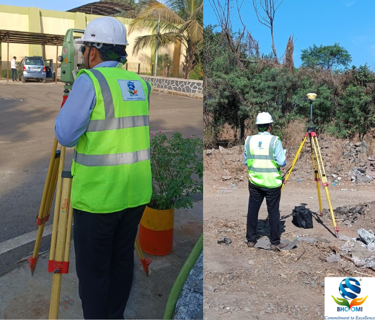
Desk Study & Site Reconnaissance
Reviewing geological data and observing visible ground features.
3
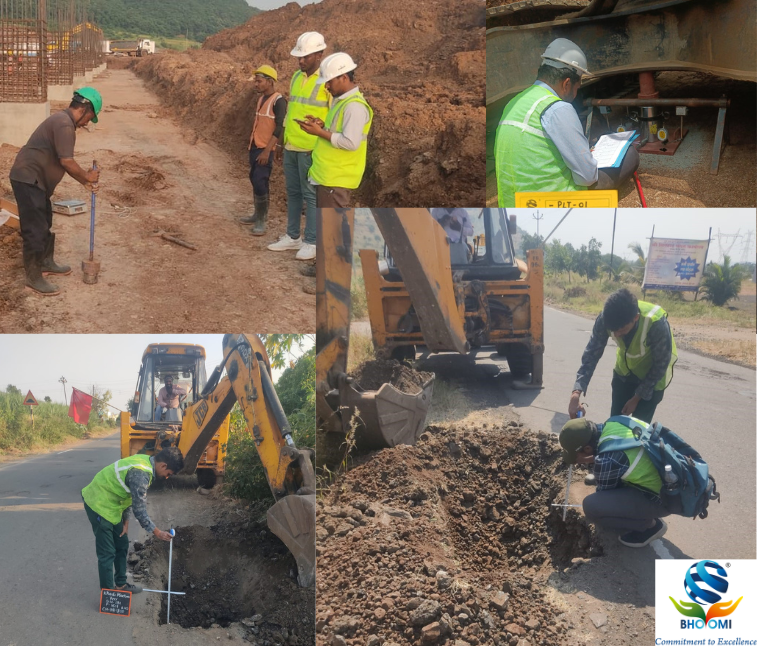
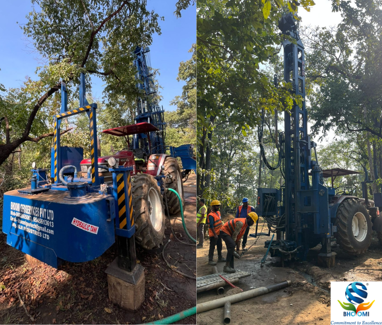
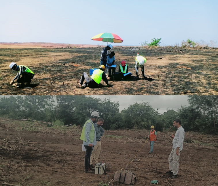
Field Work
Drilling, sampling, and in situ testing for soil and rock profiling.
4
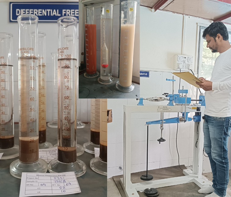
Laboratory Testing
Conducting detailed physical and mechanical tests on collected samples.
5
Data Interpretation & Reporting
Delivering clear, engineering ready reports for structural and foundation design.What We Offer
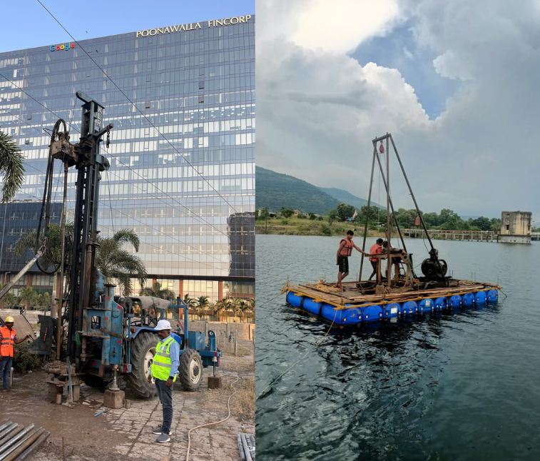
- Soil and rock drilling
- Undisturbed sampling and automatic SPT testing
- Onshore and offshore soil investigation
- Trial pits and trenches
- Strata verification and soil classification
- Soil bearing capacity calculation
- Foundation recommendation reports
Why It Matters
Accurate geotechnical data helps reduce construction risks, prevents structural failures, and minimizes unnecessary foundation costs. A reliable investigation ensures safer, stronger, and more durable infrastructure.